We'd been saving this walk for ages, waiting for the right time when we felt strong enough. Finally, it was time before the days got any shorter and it'd be too dark. It was also a fitting crown for the end of the summer season.
We made a semi-early start from Victoria and headed on towards Lewes, to make a change for the Seaford train. Seaford is pretty pleasant as seaside towns go, much prettier than Folkestone and a lot less busy than Brighton. It was a bright sunny day, and all manner of walkers were out for a jaunt.
The seafront was very clean and picturesque, complete with the cutesy candy cane bathing huts. Psst, this beach is largely artificial due to sand and stone having to be imported to top up the washed away beach.


Quite quickly, we made the first steep ascent up the cliff to traverse a large green plain with sheep.

This house reminded me of that lone barn in the high yak pastures of the Himalayas. I'd love to live somewhere like that - with miles around me, undisturbed. But no sheep, thanks.

This coastal route is one of the best in England, where the path follows the rolling white cliffs of the famous Seven Sisters. Here's one of the best peeks of the dramatic chalk ridges.


Before long, we started downwards towards the shore. The waves lapped against a little cove and beach. Unfortunately, route was split by a estuary, which was a little too deep to wade across. Ali was all for wading across, but I'm a firm believer in non-soggy socks. Thankfully, Dr. J plumped down on the side of being cautious and not being swept into the current.


Thus began a 4km detour inland along the bank of the river to find a crossing. As it was such a lovely day, it really didn't matter. It felt quite good to keep striding.
This river is the River Ouse, which we'd walked along a previous time, further in near Lewes. Part of the joys of walking, is connecting the geography of the land in a way that traveling via train or vehicles do not provide.


As we curled back across a tarmac bridge, we encountered two bizarre sights. The first was a middle-aged lady who was attempting to do the walk in...heels. Mind you, they weren't stilettos but still...it seemed a little crazy.
The second - we heard before we saw it. There was a hideous loud squawking and what could only be described as a scene out of The Birds, where a large gaggle of geese flew around in concentric circles before descending in the waters. We stood and gawped for a while.


Soon we were back in view of the the coast.

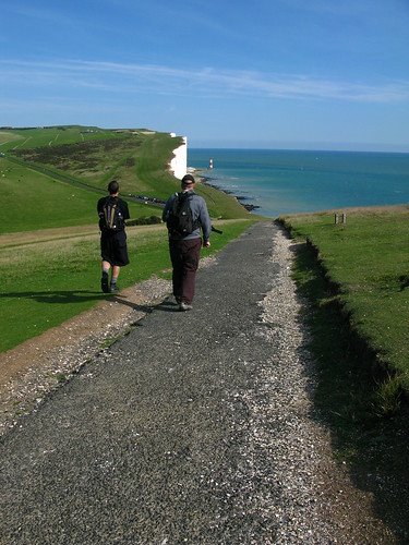
As we climbed upwards again, we reached a plateau of what looked like a random smattering of loose, white chalky stones. However, on closer inspection, there were different patches of stone messages, some had been kicked over and scattered, some no longer legible as their stones were stolen and reused.
This was still pretty intact. I carefully stepped around it.

We followed the up and down curvature of the Seven Sisters, named for the seven hills of the coastline, giving our legs a good workout. These cliffs are made of chalk, and are currently receding 30-40cm every year.

As we curled around another steep point, it got a little more crowded. Walkers were playing "Look how far to the edge I am!" with each other, waving the arms with their mouths open as they posed for photos.
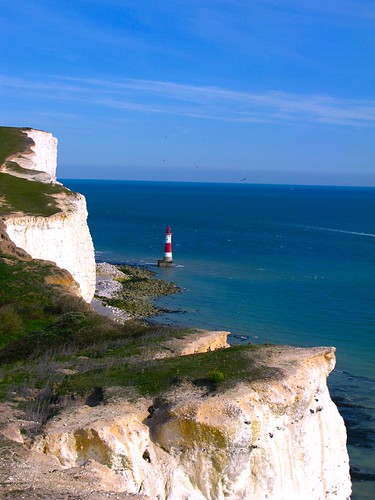
I like to walk pretty close to the edge too. Somehow the sight of the blue sea and the seabreeze revitalised me. Dr. J and Ali preferred to keep a more prudent distance in. But this sight of the famous Belle Tout was worth the risk. This Lighthouse was built to protect ships from the hazardous protruding cliffs of Beachy Head, recently, it's been turned into private residence.
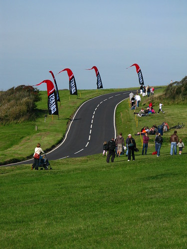
Part of the festivities were also due to a speed-skateboarding race. The racing track had recently been laid over and bikers and skateboarders were showing off their skills.
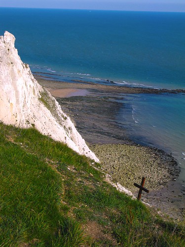
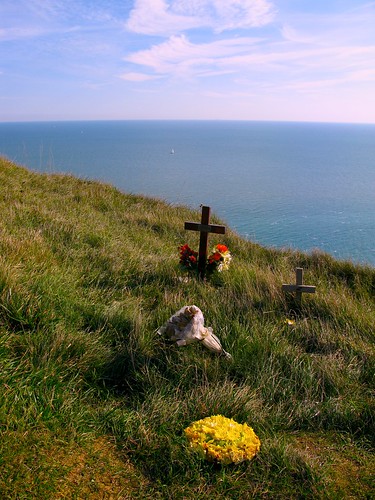
As we reached the peaks of Beachy Head, the highest chalk sea cliff in Britain, I soon came across the various tributes laid for the suicides here. On a warm gorgeous day, it seemed a little criminal to imagine taking your life at this beautiful spot. I could imagine the urge though, if one was stood here in despair in a howling gale with the sea thundering below.
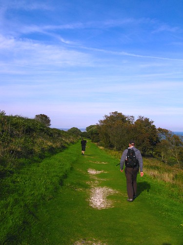
I like this shot. The shape of the path reminds me of the route to Lobuche, where the paths were far narrower and right on the edge. It was a wonder how quickly we got used to it.

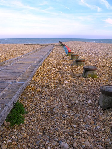
We spied our final destination over the last curve, the town of Eastbourne, which grew from a stone age settlement. Known as one of the sunniest places in Great Britain, this was once a popular holidaying spot.

It wasn't so bad after all. Admittedly, once we started hitting tarmac again, the feet were definitely aching. But I could have trudged on for a bit more. 10/10 difficulty walk...easy peasy!
1 comment:
I walked this today- its a glorious walk.I've walked most of the South of England over the years and for my money this is the best of the best.
Glad you enjoyed it too.
One quibble...I'm guessing you based your 10/10 toughness on the TIME OUT GUIDE? If so,my copy states the distance as 13.1 miles...For me, the book gives quite a few walks 7/10 "toughness", I'd rate this stunning cliff walk at 9...but of course the beauty more than makes up for it.
Post a Comment